Day 3: August 25, 2006
The plan for day three was to drive around Cape Breton Highlands National Park and do some hiking on the other side near Cheticamp. The drive itself is a part of the Cabot Trail Scenic Drive and overlooks a scenic blend of rocks, mountains, ocean, and coastline. We stopped at some of the many scenic overlooks along the way. On the Atlantic side, we took a look at Lakies head, which is a small rock outcrop sticking into the Atlantic. Most of the rock in the area appears to be a pinkish rhyolite, similar to the rocks that the Chisos Mountains in Big Bend National Park are made of.
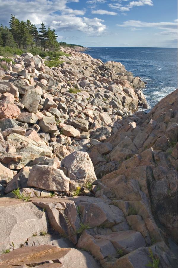
Atlantic view from Lakies Head (just north of Ingonish)
Before too long, the road turns inland, cutting across from the Atlantic side of Cape Breton Island to the Gulf of St Lawrence. In between, the road goes up, then down, providing a plethora of inland mountain views.
Mountains rising above the Aspy River
The road rejoins the sea near Pleasant Bay, and from there goes up and down rather rugged terrain as it skirts southwards down the coast.
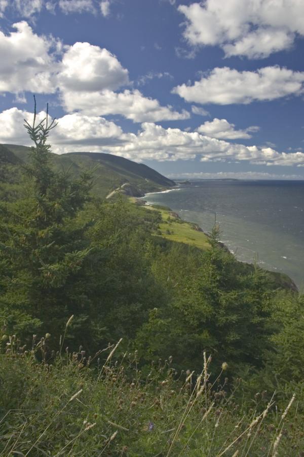
View from just south of Pleasant Bay
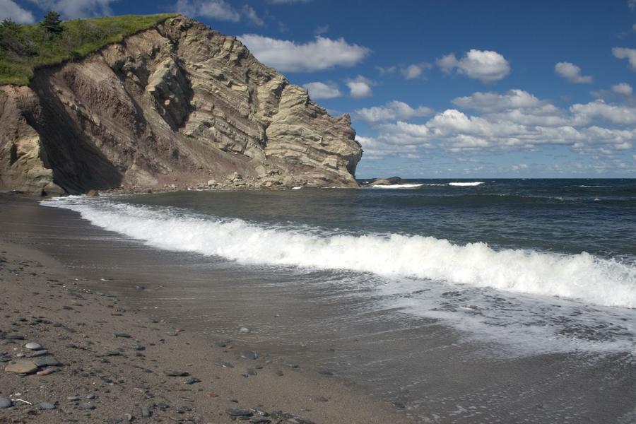
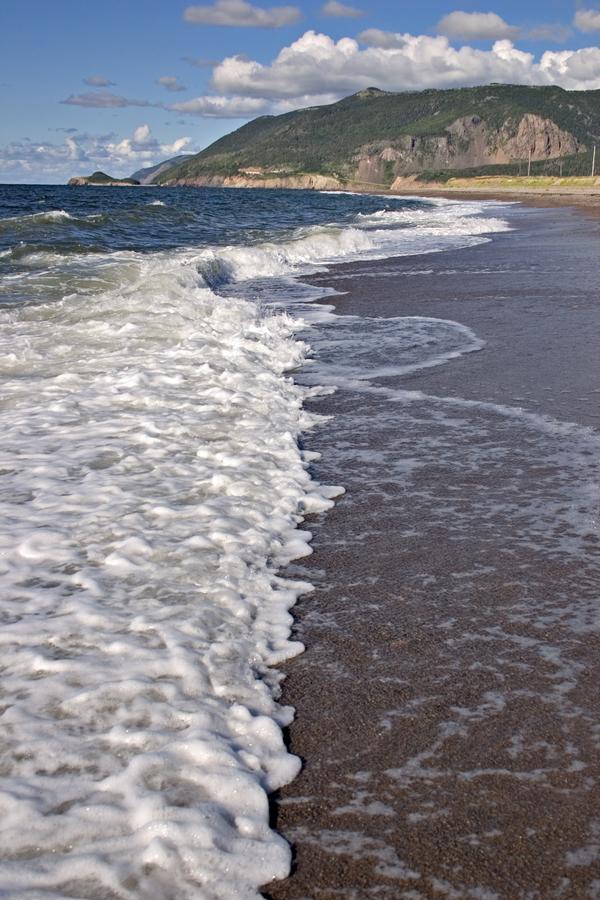
As you approach Cheticamp, there are a few beaches. They are somewhat rocky, but quite nice none the less.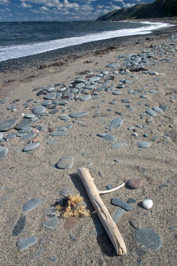
A beach just north of Cheticamp
Same beach as above
Finally we reached the park visitors center. Here is the trail head for L'Acadien trail, which was our mission for this day. The trail starts from the visitor center parking lot, and immediately dives into a thick, steeply sloped forest.
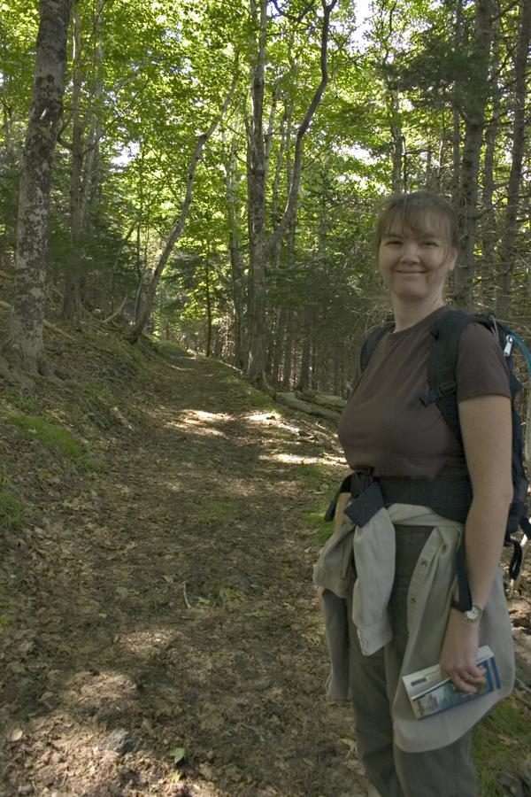
Hiking up the Acadian Trail in Cape Breton Highlands National Park
The forest alternates between spruce and hardwoods, with the hardwoods being mostly birch and maple. The trail itself is rather steep, but benefits from not being at high altitude and being smooth dirt instead of the uneven rocks one encounters in the southwest. There are many overlooks from the trail, looking back towards Cheticamp and the sea.
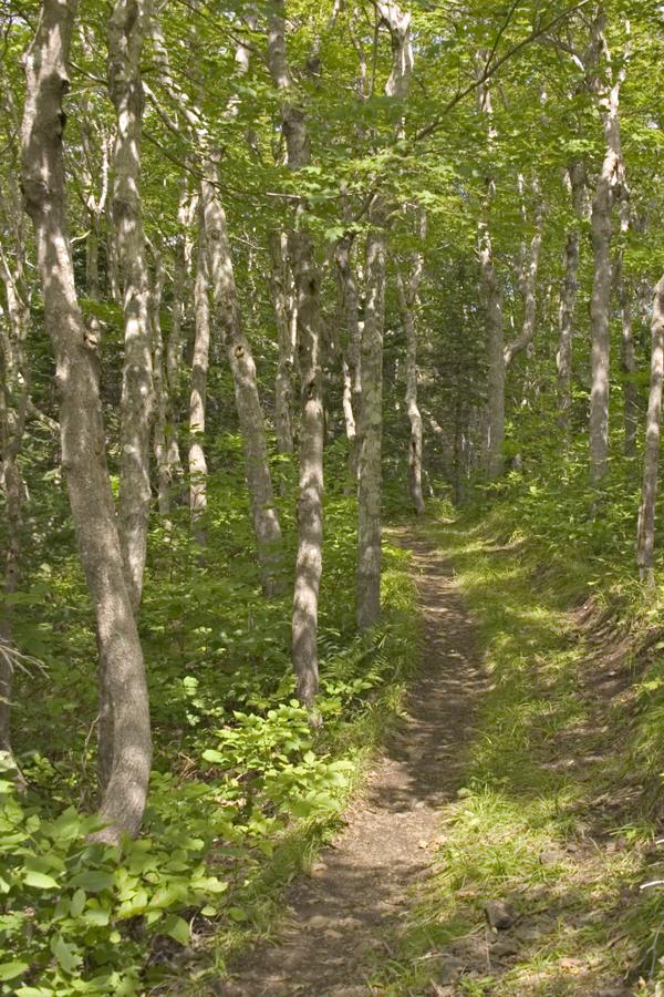
Hardwoods in the Highlands
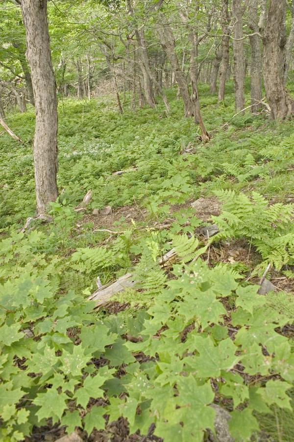
Ground cover of Maple Saplings
Towards the top of the trail, the trees lose height and give way to bushes and ground cover. Among the low bushes are many kinds of berries, including bunchberry and wild blueberries, both of which were ripe while we were there. Apparently, black bears really do like berries, as we saw a mother bear with two cubs. They walked out onto the trail in front of us, and took a good look/sniff at us. They then went further down the trail and off to the right.

Close encounters of the Bear kind
Eventually, the trail reaches a ridge line that is as high as it goes. From there, it descends on the other side of the ridge you climbed, giving fewer views, but compensating with being a lusher forest.
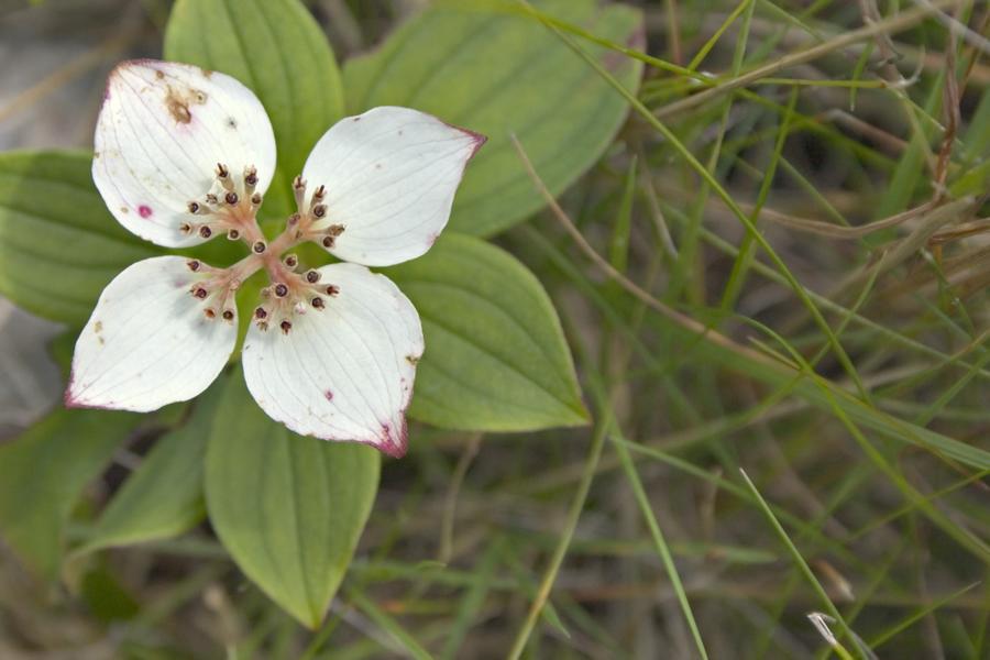
Bunchberry dogwood bloom
The trail then meets up with a small but growing stream, the Ruisseau des Habitations Neuves. The trail goes back and forth across the stream and follows it for most of the descent. This provides for a very lush and shaded environment.

The Ruisseau des Habitations Neuves (the name of the brook down the backside of the Acadian trail)
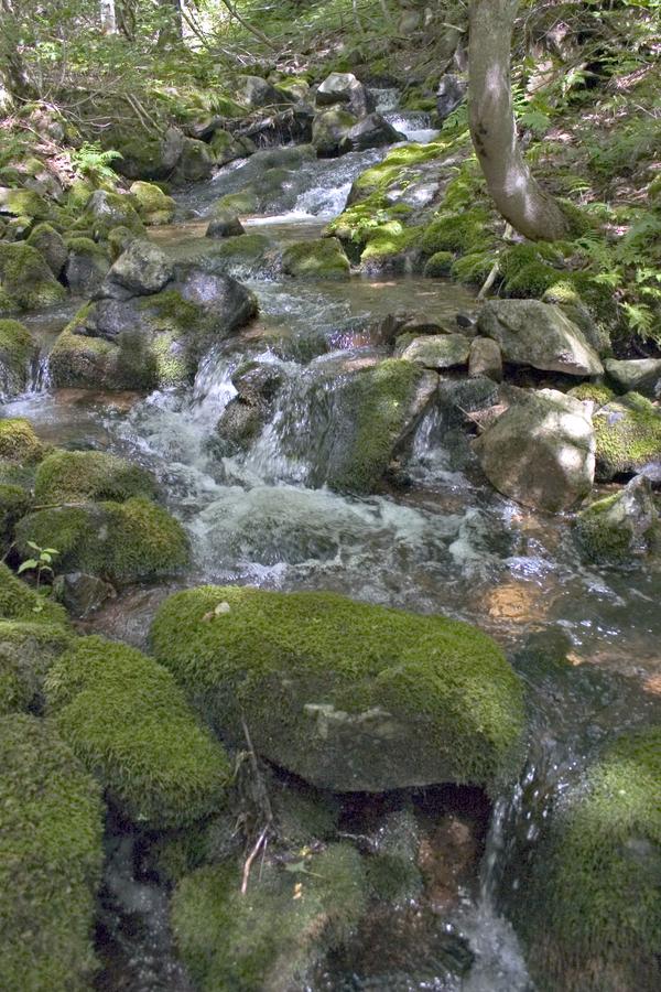
The Ruisseau des Habitations Neuves
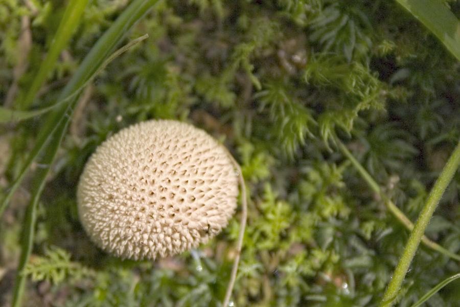
Where there is damp, there is fungus
After a hike, there is nothing better than taking your shoes off and strolling in the surf along a nice beach. Very refreshing.
Lovely beach north of Cheticamp
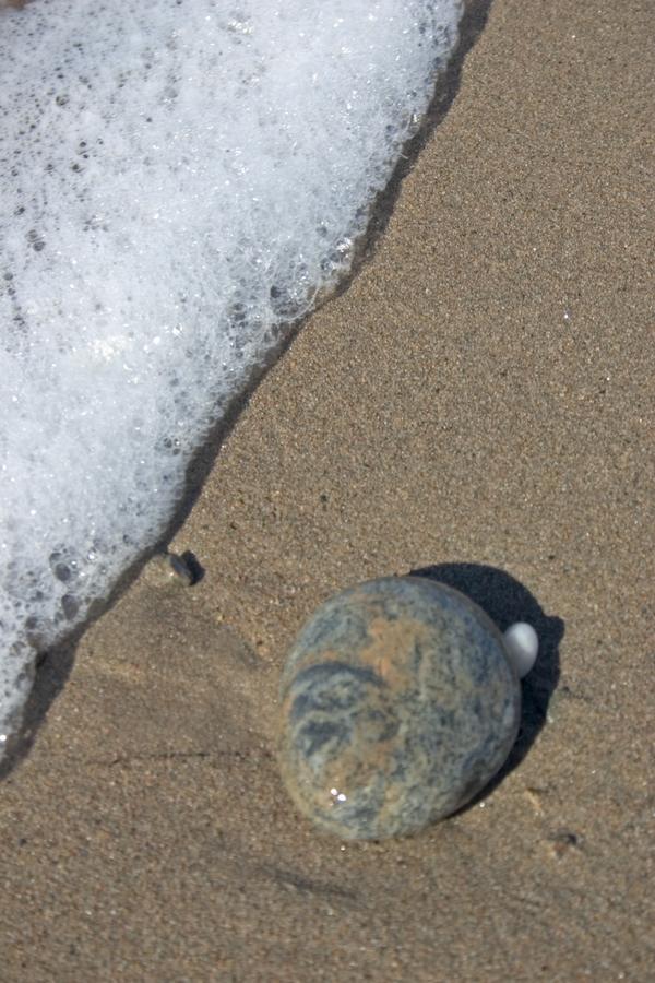
Stone along beach
We then drove into Cheticamp, which is a very cute little town. Unlike the other towns we have driven through, Cheticamp is very French, with the Acadian flag flying from every available flag pole, and most of the people speaking English with a French accent. We ate a late lunch/early dinner there, and then began the drive back around the park towards Ingonish. The late afternoon light provided some nice parting views of the Gulf of St Lawrence.
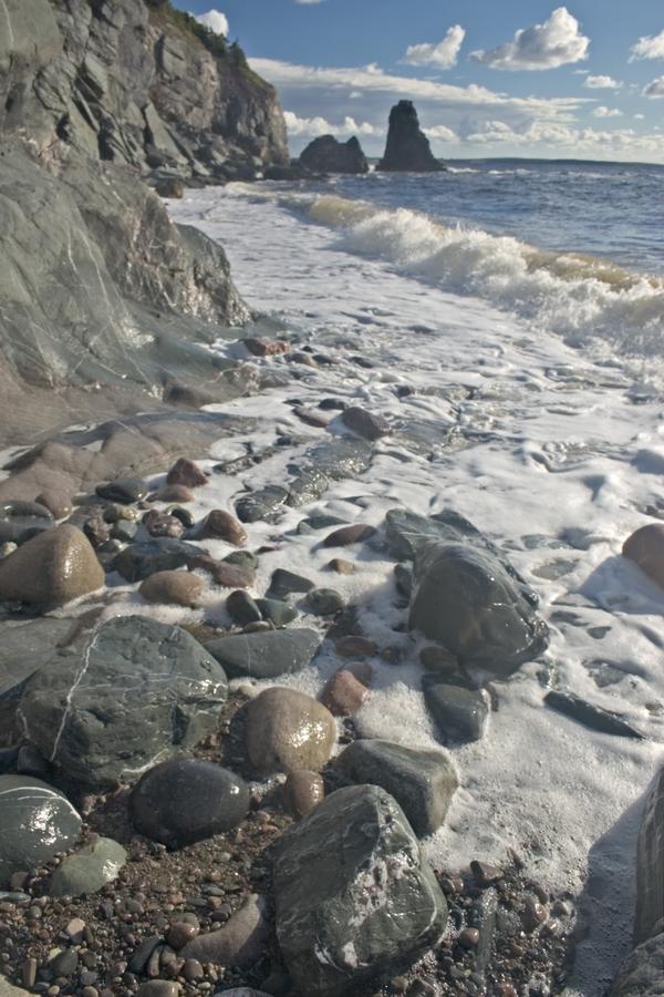
A rockier beach north of Cheticamp

Corney Brook campground and beach